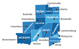
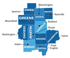
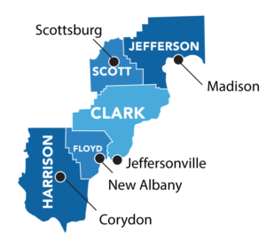
Click on the map
In this interactive map, each of Indiana’s 92 counties have been grouped geographically into one of 11 regions.
Click on a location to see your region’s statistics.
Each regional page has a dashboard that shows the top industries by employment, statistics related to Advanced Industries, including average pay, number of jobs created, and more.
You’ll also find an analysis of the region’s particular strengths, challenges, and opportunities for improvement, as well as additional information based on IN GPS Project findings and research.
Northwest

Northern

Northeast

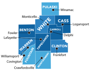
Wabash Heartland
East Central

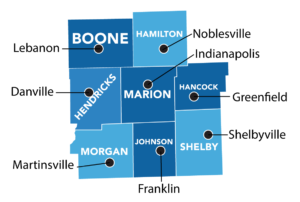
Central
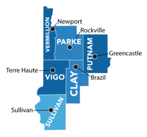
West Central
Southeast
Indiana Uplands
Southern
Southwest